Breite (Km 3.7)
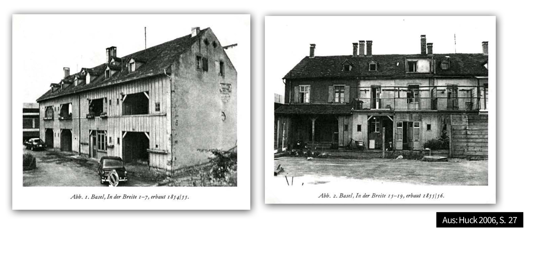
The name “Breite” is very common in Switzerland. It refers to expansive plains that were well suited for agricul-ture. It is documented that the flat area between the St. Alban quarter and Birsfelden has been named “In der Breite” since the 13th century. Correspondingly, the flat part of today’s Zürcherstrasse was called “Breite Stras-se” until 1871. In contrast, the steep rise between the St. Albanteich and the St. Alban Tor [St. Alban’s Gate] was called “Brüeckliberg” [little bridge hill] because of the bridge over the Teich. The unofficial name still used to refer to the hillside is “Sägeberg” because of the the sawmill that Jakob Stehlin built in 1836 at an acute angle between the Brückliberg and the St. Albanteich (demolished in 1955).
In the 16th century, the Council had a storage area set up in Breite for the timber rafted down the river, the so-called “Holzplatz” (wood yard). This became necessary because the storage sites in the Schindelhöfe in the St. Alban Valley were reaching the limits of their capacity. The Holzplatz was located on the Breitematte where there is a children’s playground today.
A little further up, where the Froburgstrasse is today, the Council of Basel had a bathing establishment built in 1856. No photos exist, but it probably looked similar to the somewhat more recent “Rhybadhyysli” at St. Alban-Rheinweg. Due to poor water quality, the bathing establishment was demolished in 1940. However, the foundations can still be seen.
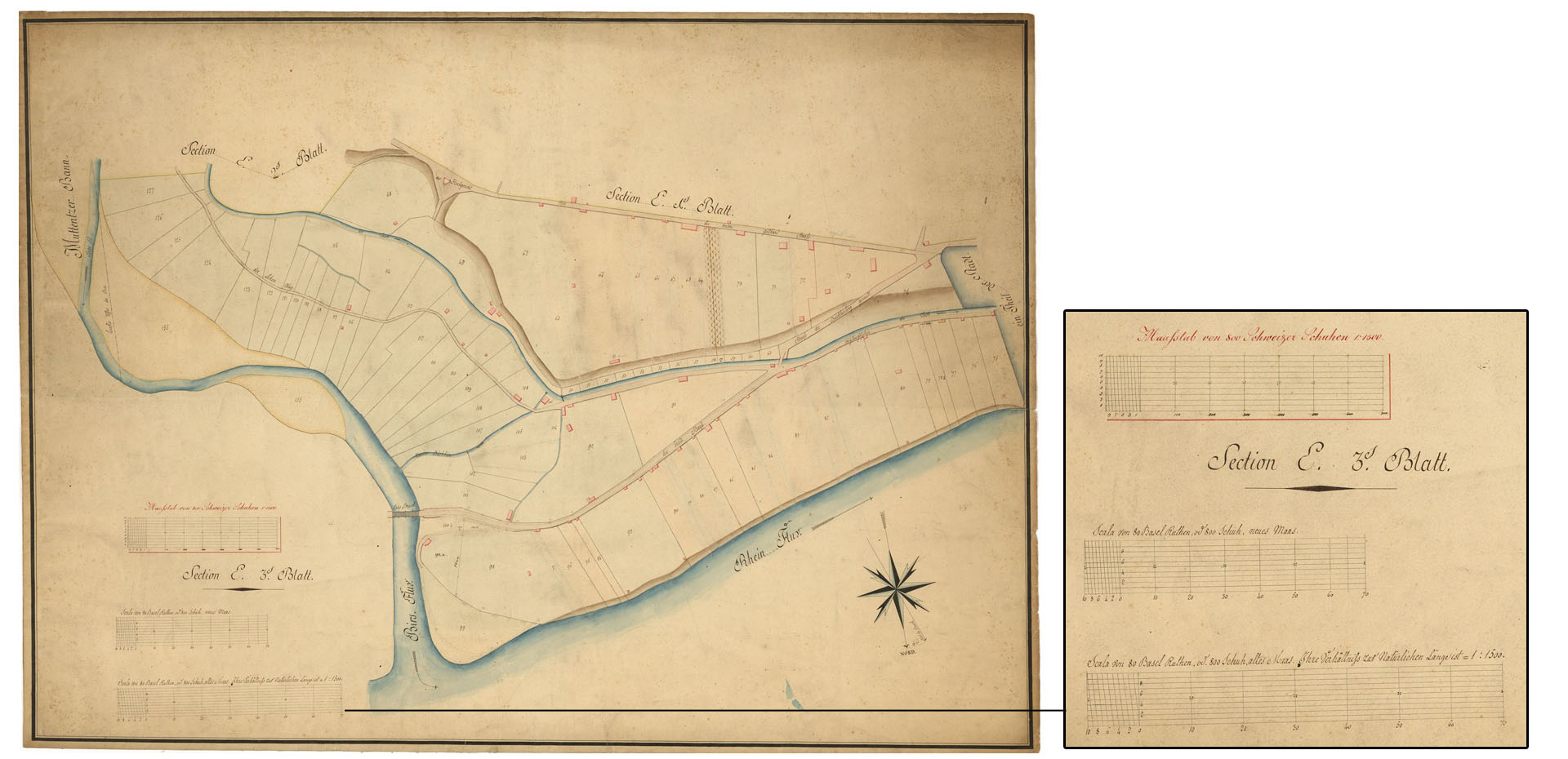
Image no. 4 State Archive of the City of Basel, image identification: Planarchiv G 5,16 Geometrischer Plan des Banns der mehreren Stadt Basel, 1818-1820
https://query.staatsarchiv.bs.ch/query/detail.aspx?ID=944607
Bild Nr. 4 Staatsarchiv Basel-Stadt, Bildbezeichnung: Planarchiv G 5,16 Geometrischer Plan des Banns der mehreren Stadt Basel, 1818-1820
https://query.staatsarchiv.bs.ch/query/detail.aspx?ID=944607


